
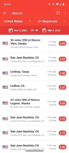
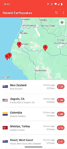
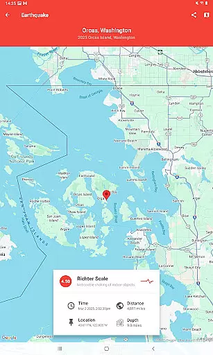
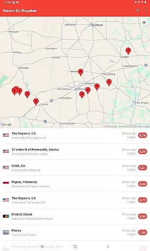
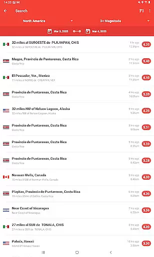
My Earthquake Alerts is a comprehensive earthquake monitoring application designed to keep users informed about seismic activities worldwide. The app provides real-time data through its live earthquake map, enabling users to track earthquakes as they happen. With customized push notifications, users receive alerts tailored to their locations or areas of interest. Its powerful search functionality allows users to explore historical earthquake data dating back to 1970. The app's intuitive design ensures easy navigation and accessibility, making it an essential tool for anyone seeking reliable earthquake information.
The app draws data from multiple sources including the USGS and EMSC, ensuring accuracy and timeliness of information. Whether you're a researcher needing detailed seismic data or a concerned citizen wanting to stay safe, My Earthquake Alerts offers valuable insights. The app's ability to display exact earthquake locations, depths, and distances from the user enhances situational awareness. Available on Android devices, this free app brings critical earthquake information right to your fingertips.
My Earthquake Alerts stands out with its robust feature set tailored for earthquake monitoring. The live earthquake map is a standout feature, offering a dynamic visualization of seismic activities globally. Users can customize their alert settings to receive notifications that matter most to them, whether based on geographic location or magnitude thresholds. The app's historical search capability is particularly useful for researchers and educators, providing access to over 50 years of earthquake data.
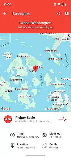
Usability is at the core of My Earthquake Alerts' design philosophy. The interface presents information in both map and list formats, catering to different user preferences. Each earthquake entry includes crucial details such as exact coordinates, depth, and distance from the user's location. The app's integration with major earthquake monitoring networks ensures comprehensive coverage and reliable data. While the app is ad-supported, its features remain completely free, making professional-grade earthquake monitoring accessible to everyone.
My Earthquake Alerts provides highly accurate earthquake data by sourcing information from multiple reliable networks including the USGS and EMSC. This ensures users receive precise and timely alerts about seismic activities.
The app's powerful search feature allows users to access historical earthquake data dating back to 1970, offering an extensive and credible database for research and personal awareness.
With push notifications enabled, users can trust that they will be immediately informed about significant earthquake events in their chosen areas, enhancing personal safety and preparedness.
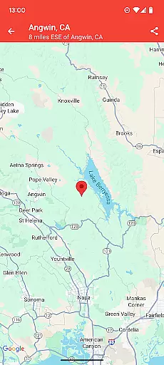
One of the standout features of My Earthquake Alerts is its ability to provide detailed spatial and temporal data about each seismic event. Users can find the exact location, depth, and distance from their current position.
The live earthquake map offers a comprehensive view of global seismic activities, allowing users to track earthquakes as they happen across different regions and time zones.
This real-time tracking and detailed mapping empower users with the knowledge to make informed decisions regarding travel and safety, ensuring they are always aware of potential risks in their vicinity or abroad.
Real-time earthquake tracking
Customizable alert system
Comprehensive historical data
User-friendly interface design
Free with no restrictions
Contains advertisements
Limited iOS availability
Requires constant internet
Notifications may be delayed
Basic features only in free version
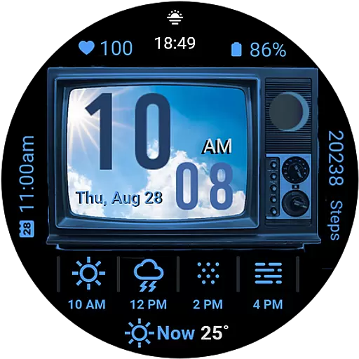
Retro TV-style digital watch face with weather, heart rate, steps & events!
 4.2
4.2
Live weather forecast for your everyday life
4.60
Your local weather app with storm radar, rain tracker, weather maps & AQI.
4.3
Your Trusted Weather Companion
4.40
No ads, No data collected. Beautiful and powerfully customizable weather app
4.90
The moon phases app for tracking the lunar calendar, blue moon and full moon.
4.80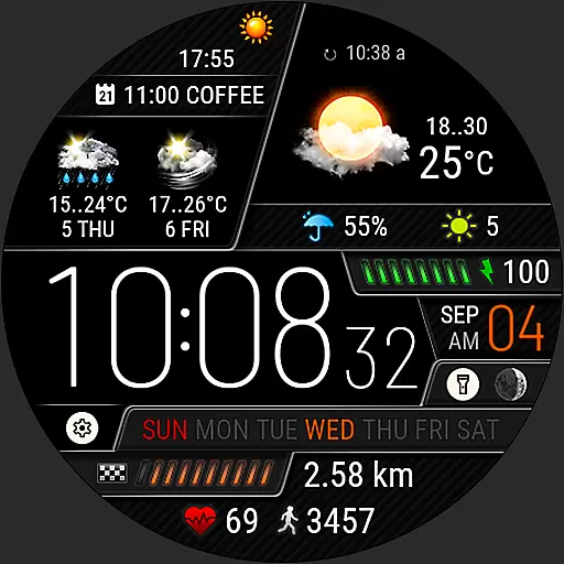
Weather watch face for Wear OS 5+
4.40
A professional, comprehensive and accurate weather forecast app
4.90
Weather radar map, storm tracker, local forecast, live rain alerts & daily news.
4.60
Accurate weather forecast, daily weather changes are easy to grasp
4.90
NOAA forecast & radar for your exact location.
4.80
The reliable and trusted global air quality, wildfire, pollen, PM2.5 forecast
4.70
The weather channel, tiempo weather forecast, weather radar & weather map
4.70
Local forecast, alerts, rain, snow and wind radar, air quality & weather widget
4.60
Weather forecast & live radar map
4.20
Arrive safely! Travel weather forecasts for your entire trip at time of arrival.
3.60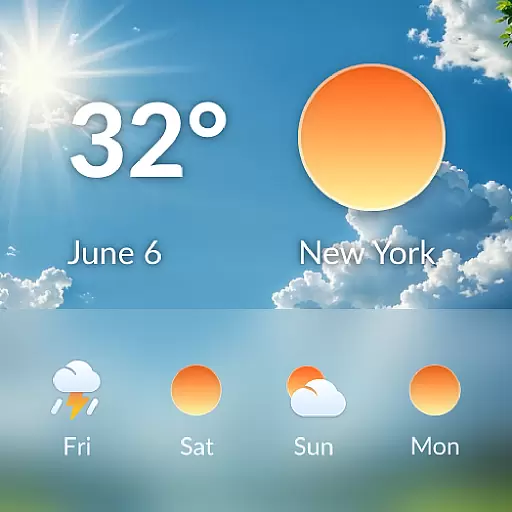
A tool that provides real-time and 5-day weather info.
4.0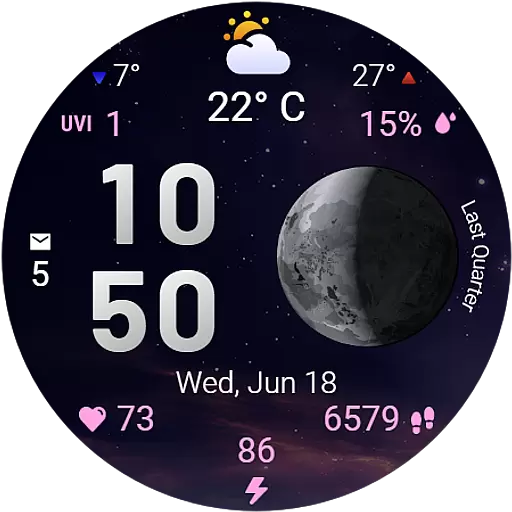
Detailed weather info and moon phase, subtle animation, customizable
4.3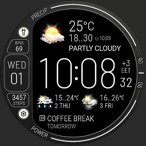
Digital Weather Watch Face for Wear OS 5+
4.3


User Reviews