


Metar-Taf is a comprehensive weather application designed specifically for aviation enthusiasts and professionals. The app provides visualized METAR and TAF weather information for airports worldwide, offering users an easy-to-understand, colorful interface with concise summaries of essential aviation weather data. Key features include crosswind calculations, flight rule categorization (VFR, MVFR, IFR, LIFR), and text-to-speech functionality for decoded METAR reports.
In addition to its robust METAR capabilities, Metar-Taf offers detailed TAF breakdowns displayed hourly in tables, complete with sunrise/sunset times and temperature extremes. Users can track favorite stations, access location-based observations, and search airports by ICAO code or name. With historical weather trend graphs, customizable units, and offline data availability, this app is an indispensable tool for pilots and aviation planners.
Metar-Taf stands out with its extensive feature set tailored for aviation weather needs. The app's METAR visualization presents complex weather data through intuitive metrics and symbols, similar to non-aviation weather reports. It includes advanced functionalities such as crosswind calculations using METAR and runway information, alongside categorized flight rules that help pilots quickly assess conditions.
The TAF section breaks down terminal aerodrome forecasts into hourly tables, displaying vital information like temperature variations and day/night cycles. The app supports multiple languages and offers various customization options, including unit preferences for speed, altitude, visibility, temperature, and air pressure. Furthermore, Metar-Taf ensures global usability by automatically converting times to local time zones and calculating sunrise/sunset based on airport coordinates.
Accurate weather forecasting is essential for aviation safety and planning. Metar-Taf provides highly reliable METAR and TAF data for airports worldwide, ensuring pilots have the most up-to-date and credible weather information.
The application breaks down complex meteorological data into easy-to-understand visual metrics and summaries. It uses official aviation weather reports and combines them with advanced algorithms to deliver precise forecasts tailored specifically for aviation purposes.
Users benefit from real-time weather updates, including visibility, wind speed, temperature, and significant weather conditions. This ensures that flight decisions are based on trustworthy data that complies with aviation standards.
By offering detailed weather trend graphs and historical METAR data, the app allows users to make informed decisions about flight operations. The credibility of the data is further enhanced by customizable units and local time conversions for each airport.
Comprehensive temporal and spatial coverage is crucial for effective flight planning. Metar-Taf excels in providing extensive forecast ranges that cover various timeframes and geographic locations.
The app offers hourly TAF breakdowns displayed in tables, giving users a clear view of weather conditions over time. Additionally, it includes sunrise and sunset times, as well as minimum and maximum temperatures for each location, enhancing situational awareness.
With global coverage, users can access METAR and TAF data for any airport, regardless of its size or location. This broad spatial range ensures that no matter where you're flying, you'll have the necessary weather information at your fingertips.
Metar-Taf also supports offline use, allowing pilots to access saved data even without an internet connection. This feature is particularly valuable for flights in remote areas where connectivity may be limited, ensuring continuous access to critical weather forecasts.
User-friendly interface
Comprehensive weather data
Offline functionality
Customizable units
Multilingual support
Occasional data delays
Limited free features
Heavy on battery
Complex for beginners
Subscription required
Nuts Weather, your ideal choice for knowing weather forecast & weather radar
 4.70
4.70
Your ultimate app for accurate local weather information!
4.60
Powerful US and worldwide earthquake feed with earthquake alerts and maps.
4.60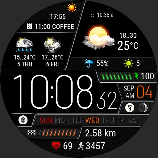
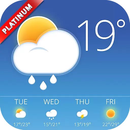
Weather watch face for Wear OS 5+
4.40
My Aurora Forecast Pro is the app for the Northern Lights and Aurora Borealis.
4.70
14-day & 24-hour Forecast | Real-time Alert | Accurate & Fast
4.40
Your Reliable Weather Companion
4.10
Weather radar map, storm tracker, local forecast, live rain alerts & daily news.
4.60
Precision Weather, Right at Your Fingertips
4.40
Local Weather provides accurate and current hourly and daily forecasts.
4.80
Weather radar, hyperlocal tracker and weather maps: follow your weather station
4.80
Weather Forecast, Trending News, Hurricane & Storm Tracker, Alerts & Live Radar.
4.80
Live local weather updates: various widgets & radar maps & hourly forecast.
4.70
Hourly and daily weather forecast, current condition, temperature, UV and more!
4.70
Weather forecast & live radar map
4.20
3D Animation Weather Icon
4.00
An unofficial app version of the National Weather Service (Weather.gov)
3.90
Arrive safely! Travel weather forecasts for your entire trip at time of arrival.
3.60
Advanced weather toolkit, providing detailed weather information for any season!
3.50

User Reviews